Automated research artifact — not the upstream project.
This repository is a disposable lab built by an automated harness for a
master's thesis at Université Laval on reproducing published GitHub Actions
workflow vulnerabilities. It is a verbatim snapshot of
qgis/QGIS at commit
48ffad0d4b0f533982d7a4e46d3e75410da46ccb (2026-01-23), redistributed under that
project's own licence, whose file is included unchanged in this snapshot.
The upstream project is not involved, is never targeted, and the
vulnerability studied here is already public. Every secret and variable in
this repository is a randomly generated dummy value — no real credential is
present. Action references and runner images are pinned to what they resolved
to on 2026-01-23; see pinning.md in the harness output for
every change made to the snapshot.
Questions or objections: [email protected]








QGIS is a full-featured, user-friendly, free-and-open-source (FOSS) geographical information system (GIS) that runs on Unix platforms, Windows, and MacOS.
Features
1. Flexible and powerful spatial data management
- Support for raster, vector, mesh, and point cloud data in a range of industry-standard formats
- Raster formats include: GeoPackage, GeoTIFF, GRASS, ArcInfo binary and ASCII grids, ERDAS Imagine SDTS, WMS, WCS, PostgreSQL/PostGIS, and other GDAL supported formats.
- Vector formats include: GeoPackage, ESRI shapefiles, GRASS, SpatiaLite, PostgreSQL/PostGIS, MSSQL, Oracle, WFS, Vector Tiles and other OGR supported formats.
- Mesh formats include: NetCDF, GRIB, 2DM, and other MDAL supported formats.
- Point-cloud format: LAS/LAZ and EPT datasets.
- Data abstraction framework, with local files, spatial databases (PostGIS, SpatiaLite, SQL Server, Oracle, SAP HANA), and web services (WMS, WCS, WFS, ArcGIS REST) all accessed through a unified data model and browser interface, and as flexible layers in user-created projects
- Spatial data creation via visual and numerical digitizing and editing, as well as georeferencing of raster and vector data
- On-the-fly reprojection between coordinate reference systems (CRS)
- Nominatim (OpenStreetMap) geocoder access
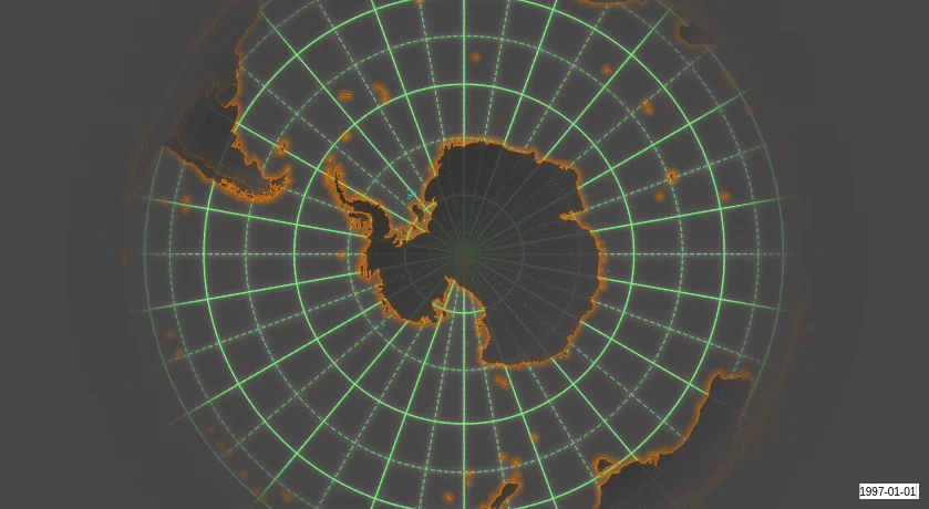
- Temporal support
Example: Temporal animation
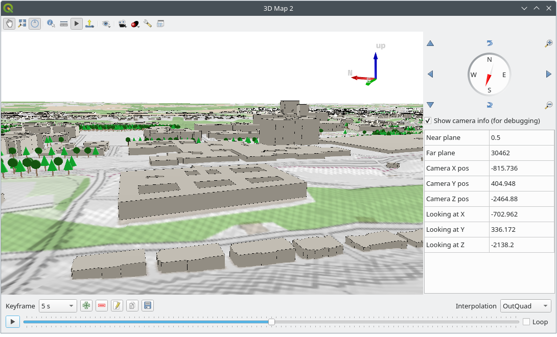
Example: 3D map view
2. Beautiful cartography
- Large variety of rendering options in 2D and 3D
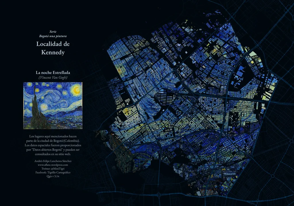
- Fine control over symbology, labeling, legends and additional graphical elements for beautifully rendered maps
- Respect for embedded styling in many spatial data sources (e.g. KML and TAB files, Mapbox-GL styled vector tiles)
- In particular, near-complete replication (and significant extension) of symbology options that are available in proprietary software by ESRI
- Advanced styling using data-defined overrides, blending modes, and draw effects
- 500+ built-in color ramps (cpt-city, ColorBrewer, etc.)
- Create and update maps with specified scale, extent, style, and decorations via saved layouts
- Generate multiple maps (and reports) automatically using QGIS Atlas and QGIS Reports
- Display and export elevation profile plots with flexible symbology
- Flexible output direct to printer, or as image (raster), PDF, or SVG for further customization
- On-the-fly rendering enhancements using geometry generators (e.g. create and style new geometries from existing features)
- Preview modes for inclusive map making (e.g. monochrome, color blindness)
Example: Map of Bogota, Colombia in the style of Starry Starry Night, by Andrés Felipe Lancheros Sánchez
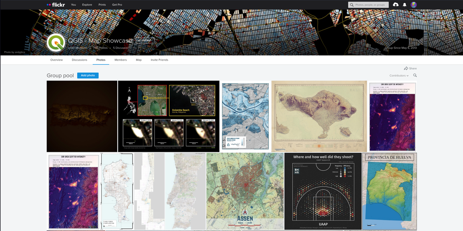
For more maps created with QGIS, visit the QGIS Map Showcase Flickr Group.
3. Advanced and robust geospatial analysis
- Powerful processing framework with 200+ native processing algorithms
- Access to 1000+ processing algorithms via providers such as GDAL, SAGA, GRASS, OrfeoToolbox, as well as custom models and processing scripts
- Geospatial database engine (filters, joins, relations, forms, etc.), as close to datasource- and format-independent as possible
- Immediate visualization of geospatial query and geoprocessing results
- Model designer and batch processing
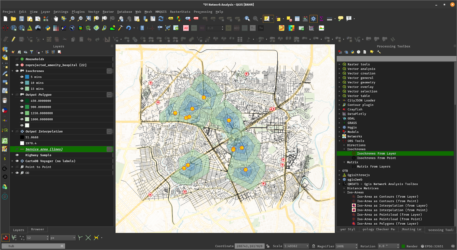
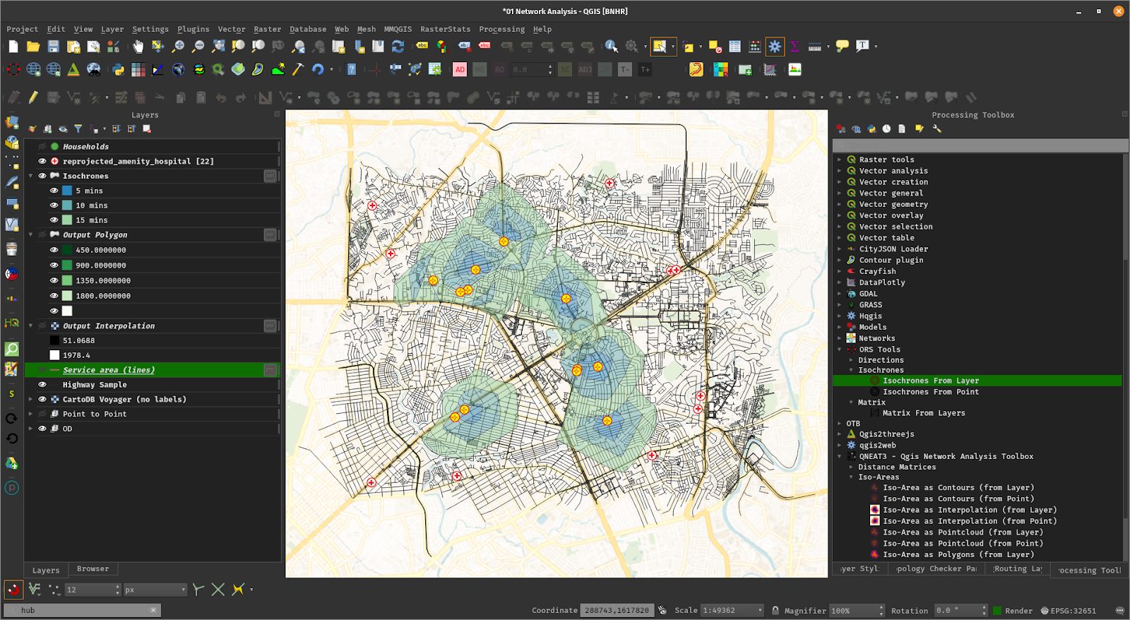
Example: Travel isochrones
 pvharmo2/gha-lab-b16a4f3554
