
Skip to content
KitploitKITPLOIT
도구익스플로잇블로그
Log in
제출
도구익스플로잇블로그
제출

해킹, 침투 테스트 및 사이버 보안 도구를 당신의 보안 무기고에!

Kitploit은 해킹, 사이버 보안 및 침투 테스트 도구 디렉토리입니다. 최신 프로젝트 업데이트를 발견하여 취약점을 찾고, 시스템을 분석하고, 테스트를 자동화하고, 보안을 강화하세요.

피드문의개인정보© 2026 Kitploit

도구 디렉토리

카테고리

모든 카테고리 보기
Loading categories
geo-sleuth — 사진이 촬영된 위치를 찾아내는 에이전트 스킬 — OpenStreetMap 지형, 고도 스카이라인, 위성 이미지, 스트리트 뷰를 활용하며 그 과정을 보여줍니다. Claude Code, Codex, Cursor, Gemini CLI, OpenCode, GitHub Copilot과 함께 작동합니다. | Kitploit
도구/GitHubGitHub/oldcircle/geo-sleuth
OSINT (Open Source Intelligence)ReconnaissanceOSINT for Social EngineeringScripting & AutomationInformation GatheringUtilities & FrameworksAI Security
GitHuboldcircle/geo-sleuth

geo-sleuth

사진이 촬영된 위치를 찾아내는 에이전트 스킬 — OpenStreetMap 지형, 고도 스카이라인, 위성 이미지, 스트리트 뷰를 활용하며 그 과정을 보여줍니다. Claude Code, Codex, Cursor, Gemini CLI, OpenCode, GitHub Copilot과 함께 작동합니다.

저장소 보기
7.2k9007383일 전Kitploit 검토 완료
공유
요청한 언어로 콘텐츠를 사용할 수 없습니다. 영어 버전을 표시합니다.

🧭 geo-sleuth

An agent skill that finds where a photo was taken — and shows its work.

English Simplified Chinese Japanese

License: MIT Python 3.10+ Agent Skill: SKILL.md PRs welcome GitHub stars

Works with
Claude Code Codex Cursor Gemini CLI OpenCode GitHub Copilot
…and any other agent that reads SKILL.md and runs shell commands.
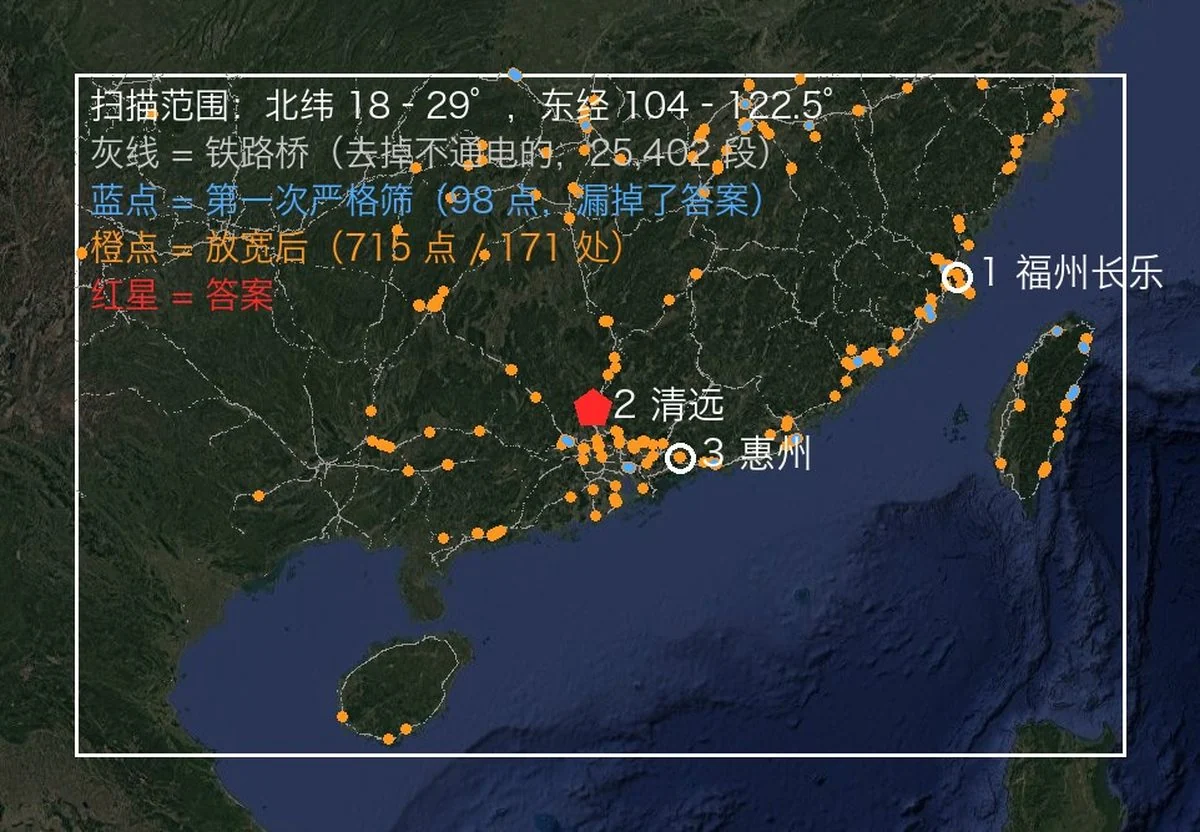
From one photo to a camera position: the photo, the region scan, the skyline overlays, the evidence image

No text. No plates. No landmarks. One bridge, one mountain. Located to within 2 m.


Quick start

npx skills add Oldcircle/geo-sleuth

Pick your agents when prompted. Then hand your agent a photo and say:

find where this photo was taken

On first use, ask the agent to run doctor.py from the installed skill’s scripts/ folder and address any failed checks (see Requirements and setup). That is the whole interface. The agent reads SKILL.md, runs the scripts, and comes back with the camera position, the direction it was facing and a satellite evidence image. Prefer to copy the folder yourself? See Installation.

Why geo-sleuth

  • One photo, one sentence. Give your agent a photo and say find where this photo was taken. You get back the camera position, the direction it was facing, and a satellite evidence image.
  • It works when there is nothing to read. No sign, no plate, no landmark: OpenStreetMap geometry, elevation data, satellite tiles and street view carry the search on their own.
  • Geometry instead of guesswork. Pier spacing becomes a distance ruler, shadows become a bearing, a ridge line becomes a fingerprint that elevation data can be matched against.
  • Every claim points at a file. A conclusion has to name the command that ran in the session and the file it produced. Population and fame are not evidence.
  • Scripts rank, the model judges. Twenty single-purpose scripts search, score and sort; the model only picks among the top few.
  • One skill, every agent. A standard Agent Skill — SKILL.md plus plain Python scripts — so the same folder runs in Claude Code, Codex, Cursor, Gemini CLI, OpenCode and GitHub Copilot.
  • Answers carry an error radius. Coordinates ± radius, the camera heading, an evidence image and a graded confidence.

Cases

None of these photos had GPS data. Each case lists what the skill read from the photo, how it narrowed the search, and how far the result landed from the confirmed camera position.

Each case is a record of one run by one model. The skill tells the agent how to work; what to query, how to filter and how many top results to check are the model's own decisions, so a different model or different decisions may not reach the same result. Under each case, Reproduction conditions and checkpoints lists the input, the hint, the key parameters and what each stage should still cover, so you can find the step where your own run diverged.
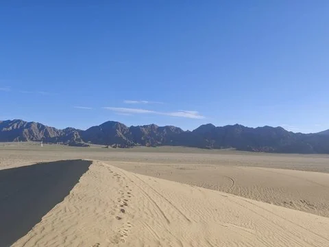
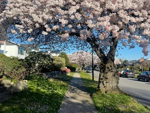
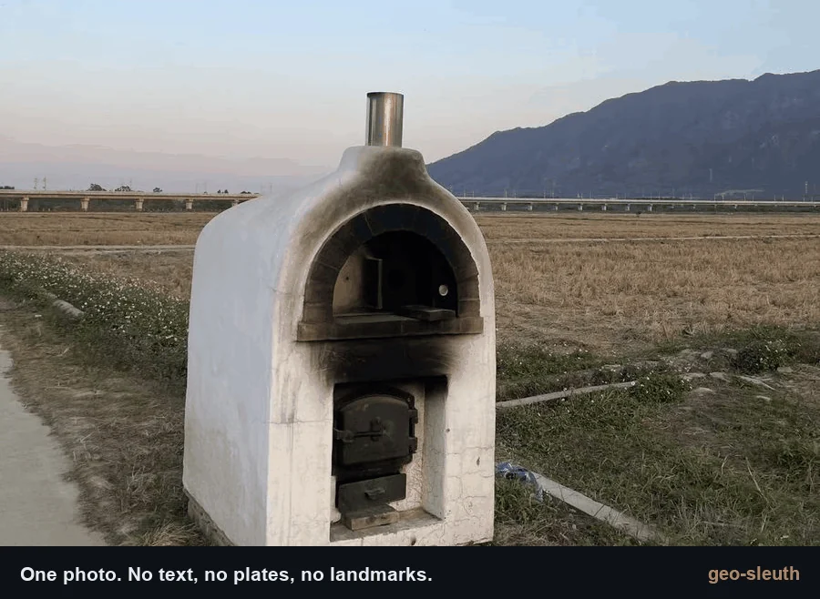
An oven at the edge of a rice paddy, a viaduct and a mountain behind A sand dune ridge and a range of bare dark mountains A flowering cherry tree over a sidewalk
1 · Rice paddy and viaduct
Railway bridges × skyline × pier count.
2 · Desert skyline
Power lines × skyline × a phone tilted by 1°.
3 · Cherry street
Street-tree open data × shadows × street view.
±2 m
Qingyuan, Guangdong
within 100 m
Da Qaidam, Qinghai
3 m
Vancouver, Canada

1. A rice paddy and a viaduct

A phone photo with the EXIF stripped: a white oven at the edge of a harvested rice paddy, a long viaduct in the distance, a steep mountain on the right. Not a single character in the frame. One message to an agent with this skill installed, and it came back with the camera position and the direction the camera was facing.

photo → 27,335 → 171 → 14,372 → 22 → 3 → 1 → ±2 m

도구 다운로드

인기

모두 보기 →

커뮤니티에서 가장 많이 사용되는 도구를 찾아보세요.

  • 1

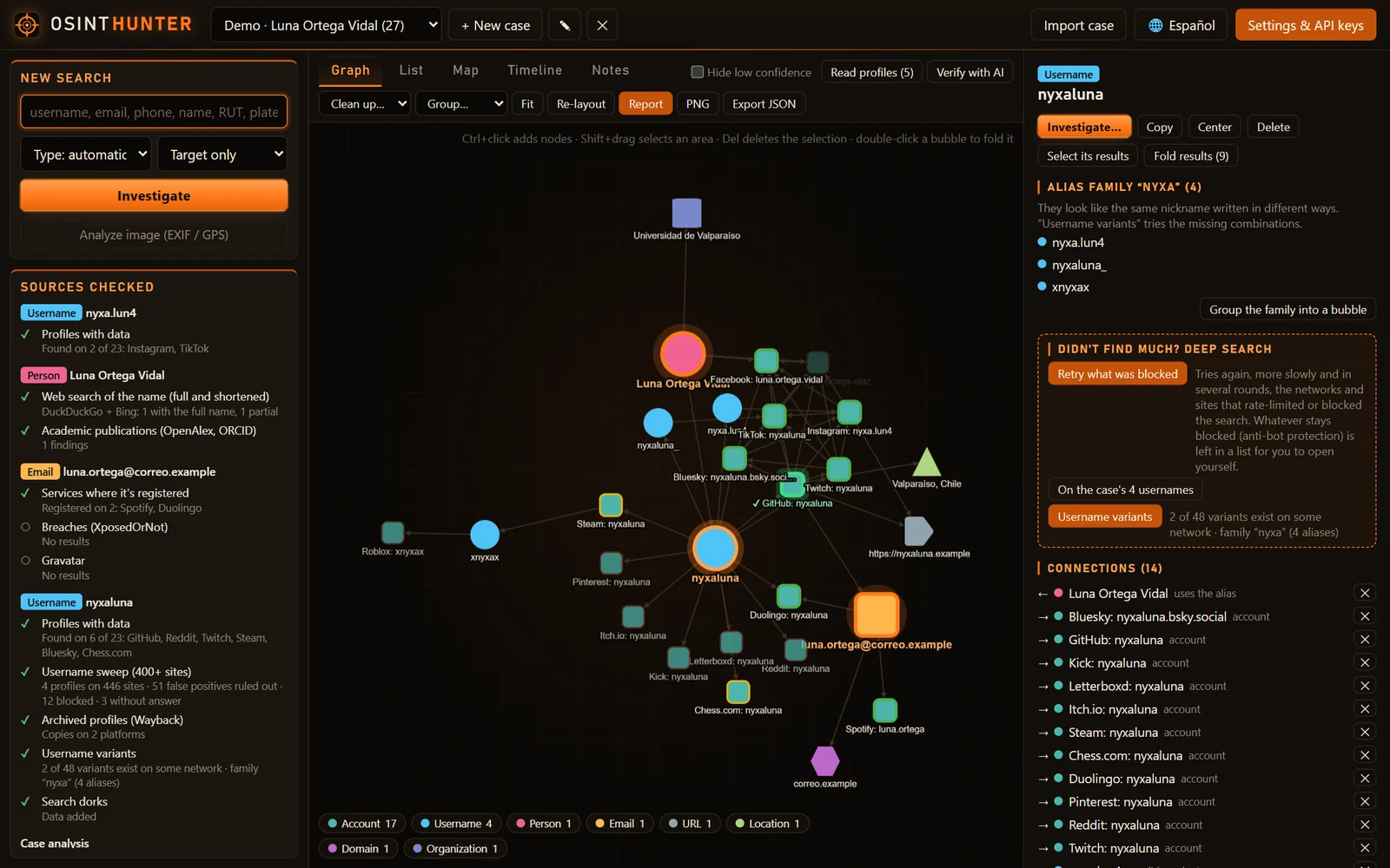
    OsintHunter

    letox4/osinthunter

    🎯 궁극의 OSINT 툴킷: 조사 그래프, 신뢰도 점수 산정, 별칭 패밀리, 지도, 타임라인 및 보고서. 49개 모듈, 400개 이상 사이트, API 키 불필요.

    867
  • 2

    ghostlock-app

    yukonga/ghostlock-app

    # GhostLock 원탭 실행 앱 (CVE-2026-43499)

    544
  • 3

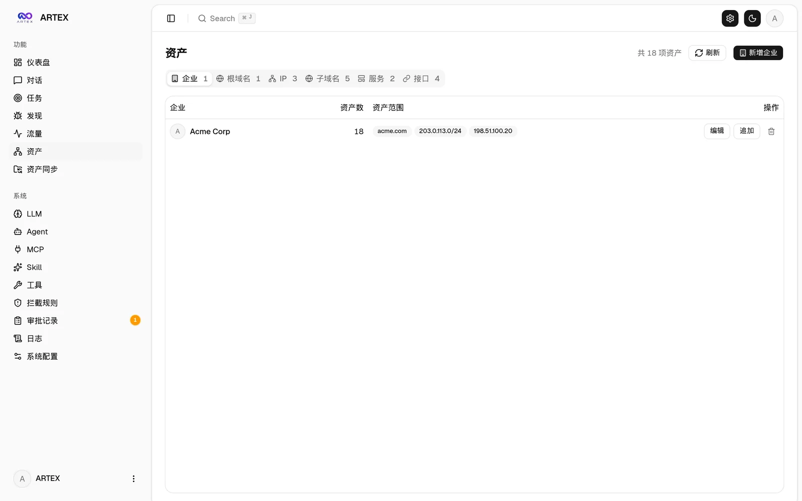
    ARTEX

    baarai/artex

    LLM 멀티 에이전트 자율 침투 테스트 플랫폼으로, 플래너/워커 에이전트, 자산 및 탐색 그래프, MITM 트래픽 기록, 취약점 재테스트 기능을 제공합니다.

    385
  • 4

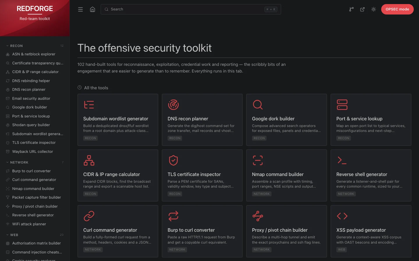
    redforge

    cybersecurity91/redforge

    브라우저 측 레드 팀 툴킷으로, 정찰, 페이로드 생성, 자격 증명 공격, 암호화, 인코딩 및 참여 보고를 위한 102개의 오프라인 도구를 제공합니다.

    360
  • 5

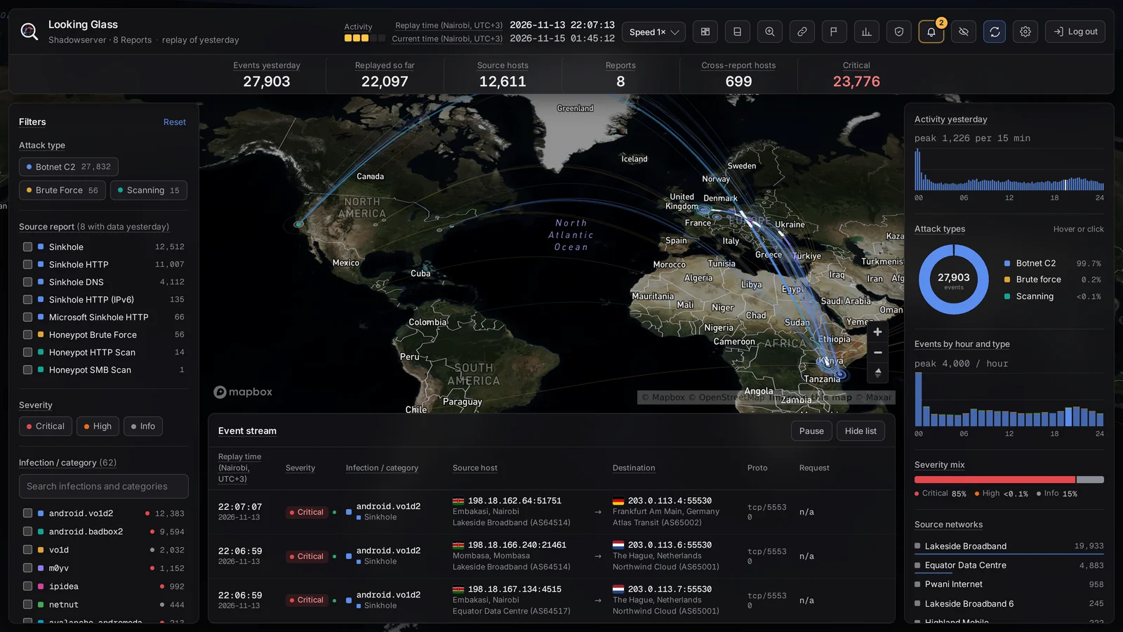
    looking-glass

    anonghosty/looking-glass

    Shadowserver 보고서를 MongoDB로 수집하고 이를 대화형 지도, 분석, 발견 사항, 권고 및 경영진 대시보드로 재생하는 CSIRT 플랫폼입니다.

    302
  • 6

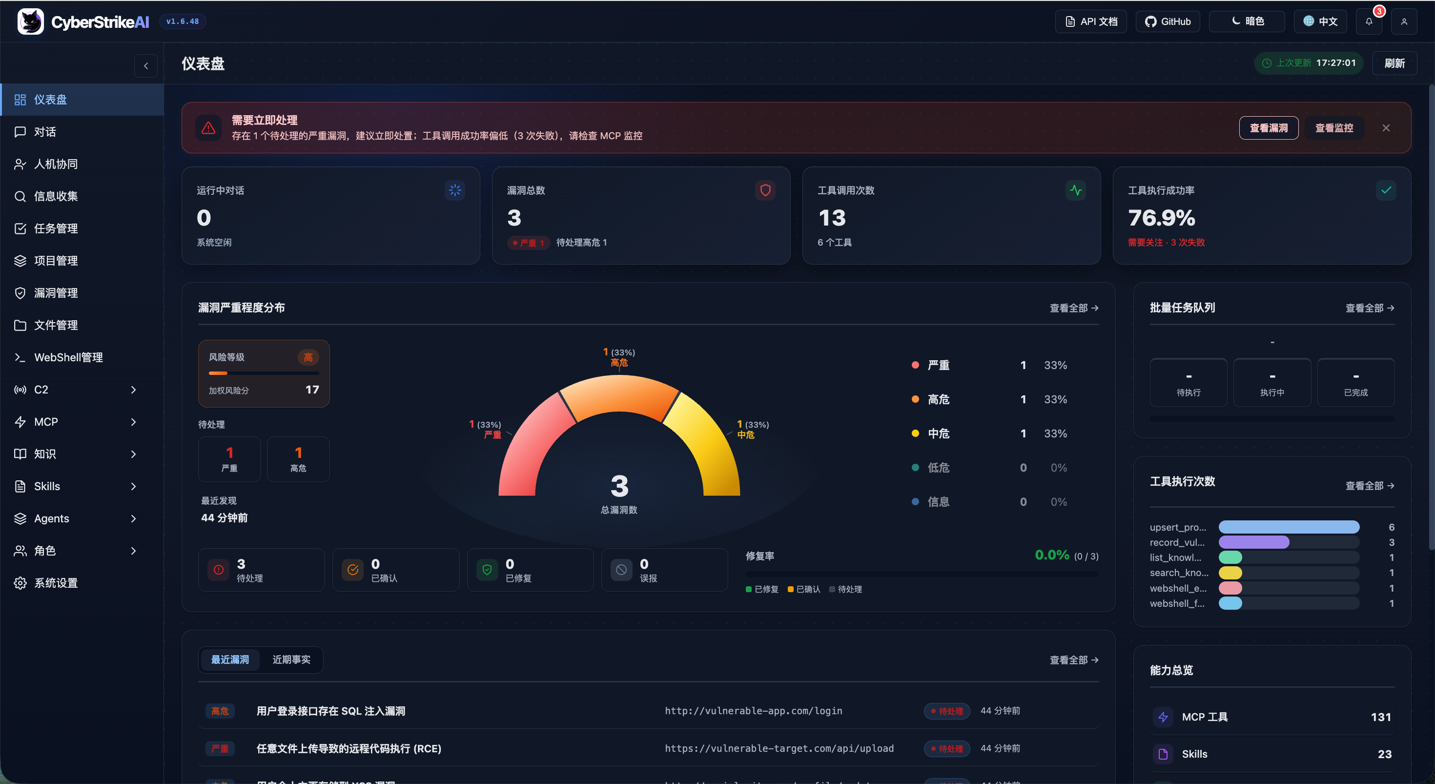
    CyberStrikeAI

    ed1s0nz/cyberstrikeai

    AI 네이티브 사이버보안을 위한 행동 체계—의도가 통제된 실행이 되고, 증거가 운영 메모리가 되며, 모든 운영이 다음 운영을 개선하는 곳.

    279

모든 도구 탐색

도구 컬렉션을 둘러보세요

모든 도구 보기 →