 redgridtactical/redgridlink
Retired September 27, 2026. Final v1.7.0 source retained for reference; no new store downloads or purchases. Development continues in Red Grid MGRS, whose Meshtastic radio features do not replace Link phone-to-phone transport.











Red Grid Link is retired
Retired September 27, 2026. v1.7.0 is the final release. Link has been removed from sale on the App Store and unpublished on Google Play. New subscriptions and lifetime purchases are no longer offered.
- Existing installations: Retirement does not erase local maps, sessions or exports. Keep the installed app and back up important data using its export tools before changing devices or uninstalling. Future compatibility and reinstallation are not guaranteed.
- Final release access: v1.7.0 gives previously free users Pro+Link access, including themes, maps, AAR export and full Field Link. It preserves stored paid entitlements. No new purchase is required for that access.
- Past purchases: Check Apple or Google's subscription settings and purchase history for your account. For billing questions, contact [email protected].
- Maintained product: Development continues in Red Grid MGRS, available on iOS and Android.
- Transport matters: MGRS does not replace Link's phone-to-phone Bluetooth/Multipeer/Nearby transport. MGRS team radio features require compatible Meshtastic hardware. There is no automatic transfer of Link data or purchases to MGRS.
This public source repository is retained for reference under MIT + Commons Clause. The license restricts selling the software; it is not an unrestricted open-source license. No further Link releases are planned, and issues and pull requests are not actively maintained.
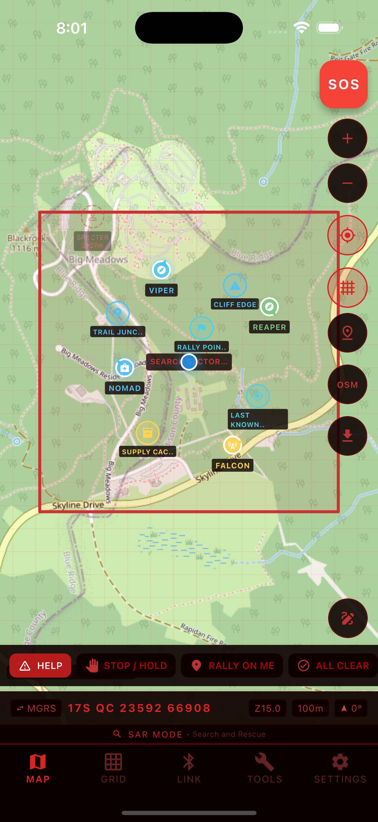
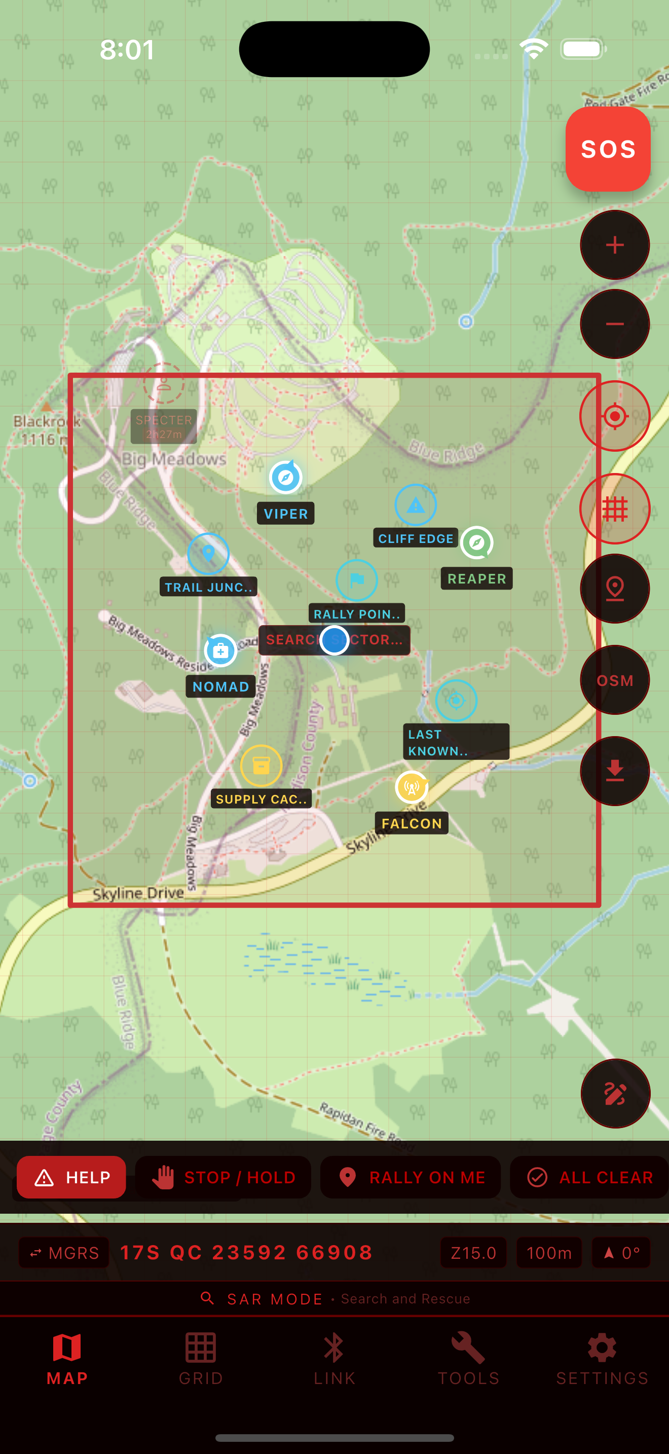
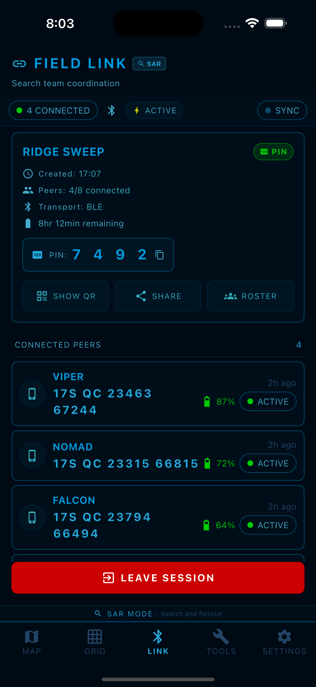
Offline MGRS maps and nearby team coordination for small teams (2-8 people). No cell service needed for active Field Link sessions.
Built on the MGRS engine from Red Grid MGRS. Field Link adds zero-config proximity sync over Bluetooth, with Apple Multipeer Connectivity (iOS) and Google Play Services Nearby Connections (Android) running alongside as a parallel higher-bandwidth transport -- your team appears on the map the moment they're in range.
The feature descriptions below document the retired app. They are not an offer of current store availability or a roadmap commitment.
| Team Map | MGRS Grid | Field Link | Tools | Themes |
|---|---|---|---|---|
 |  |  |  |  |
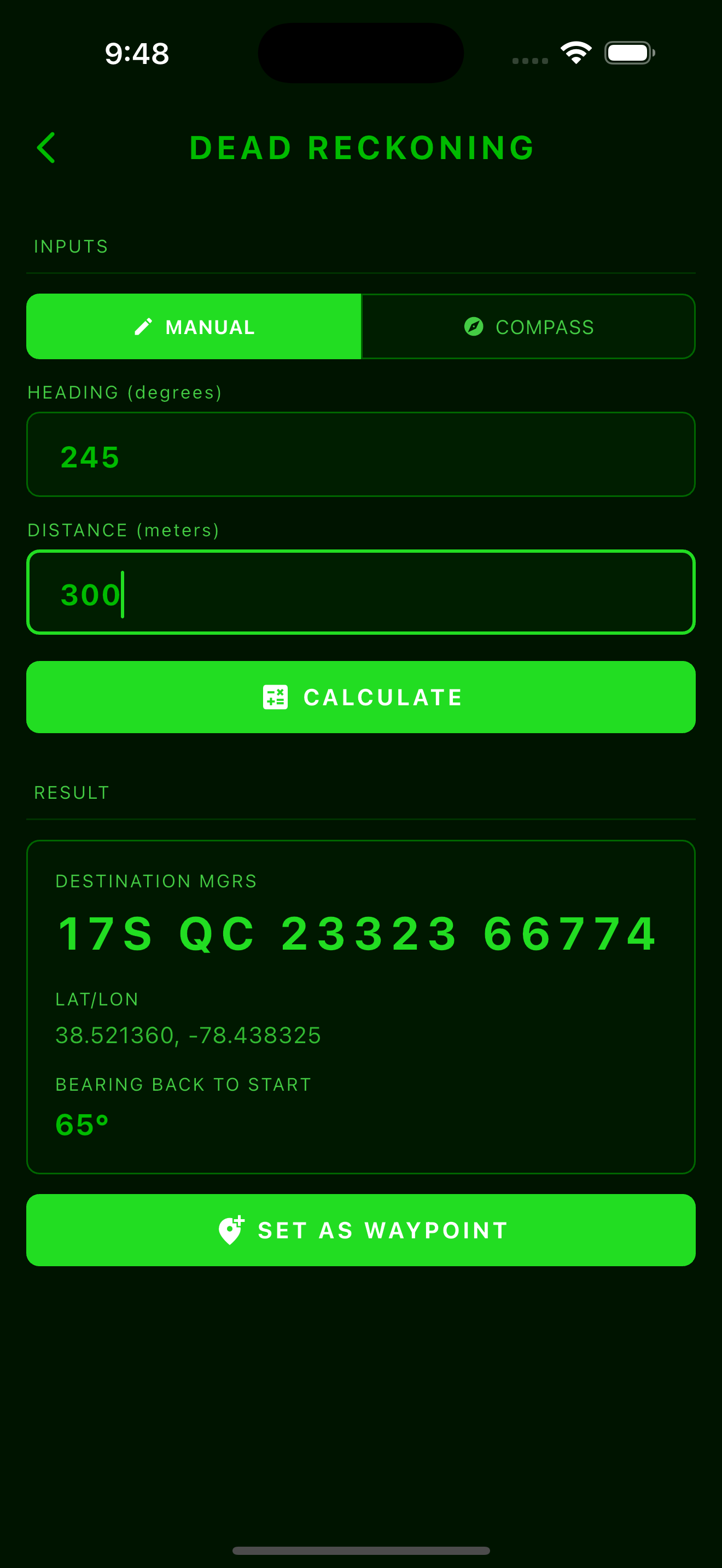
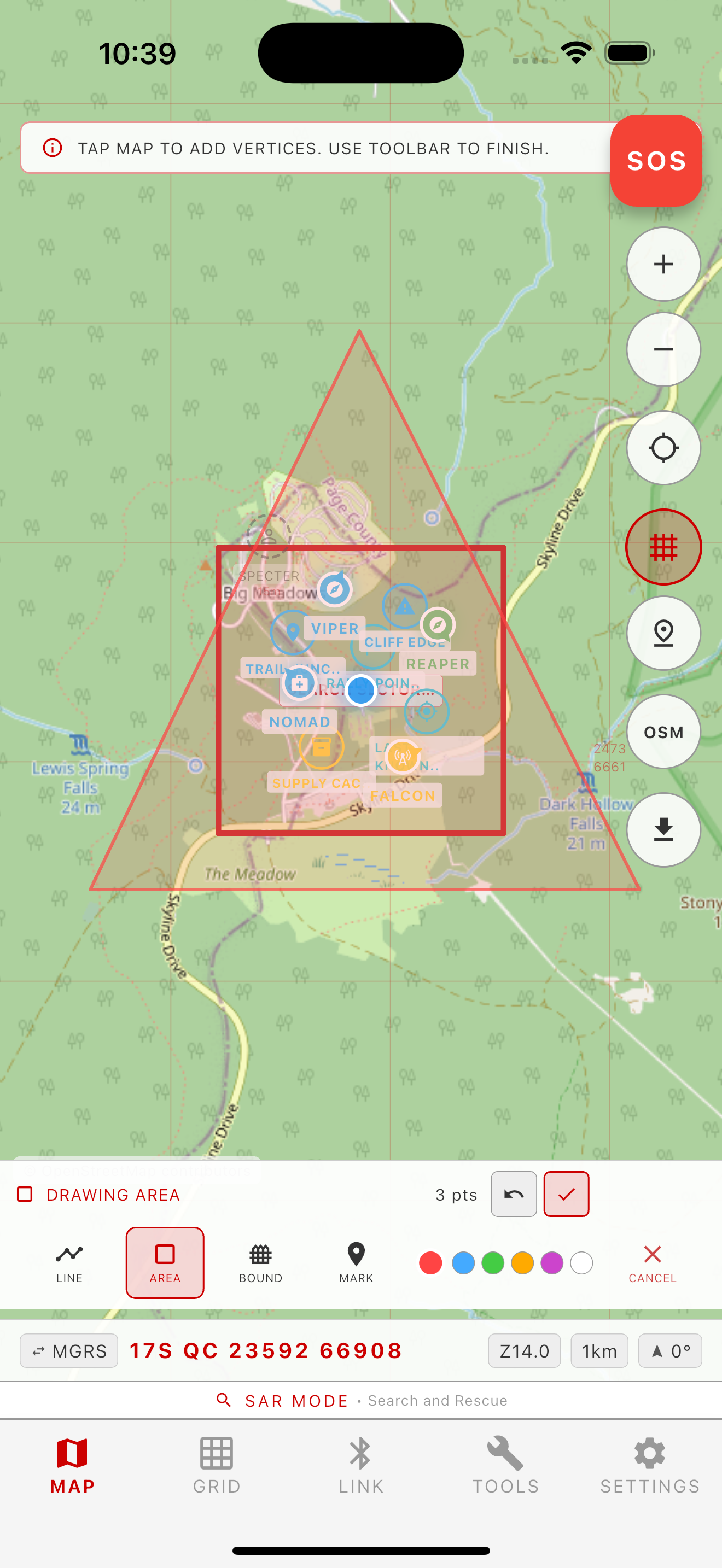
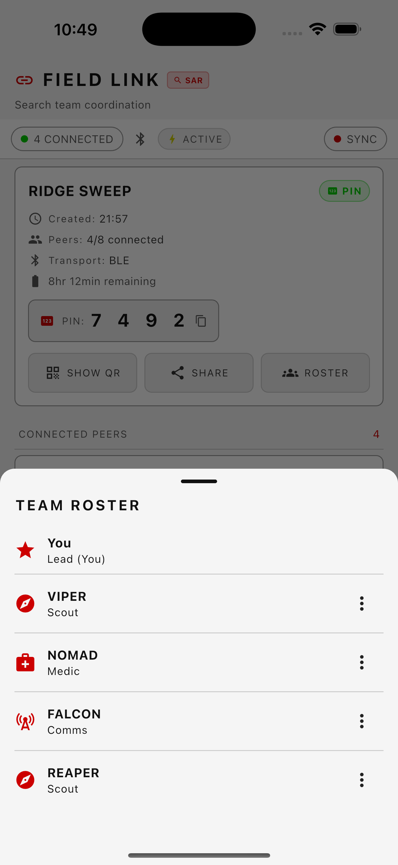
| Peer Detail | Dead Reckoning | Celestial Nav | Search Area | Team Roster |
|---|---|---|---|---|
 |  | 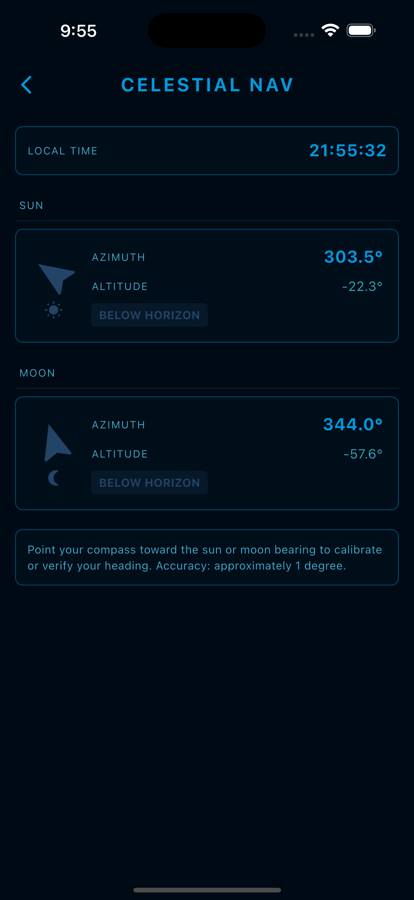 |  |  |
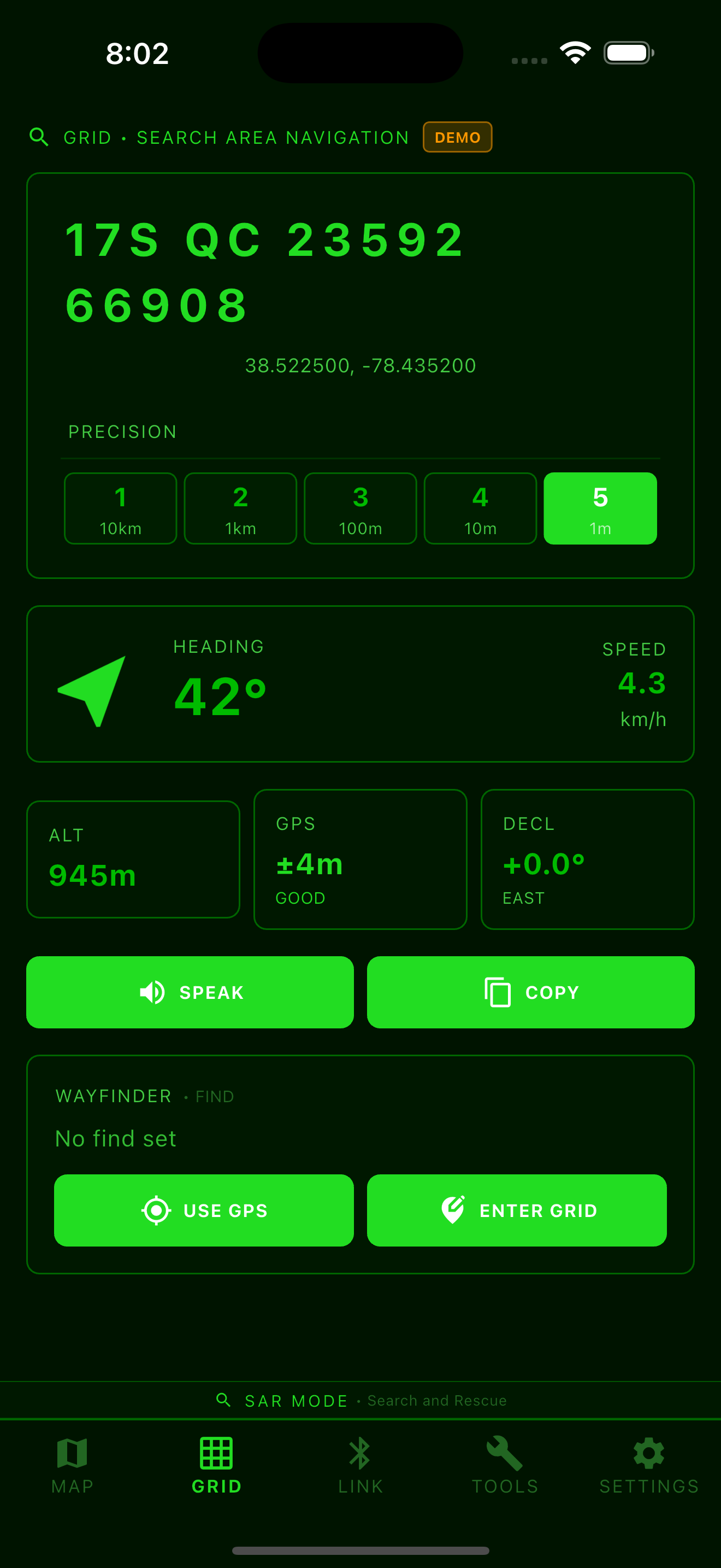
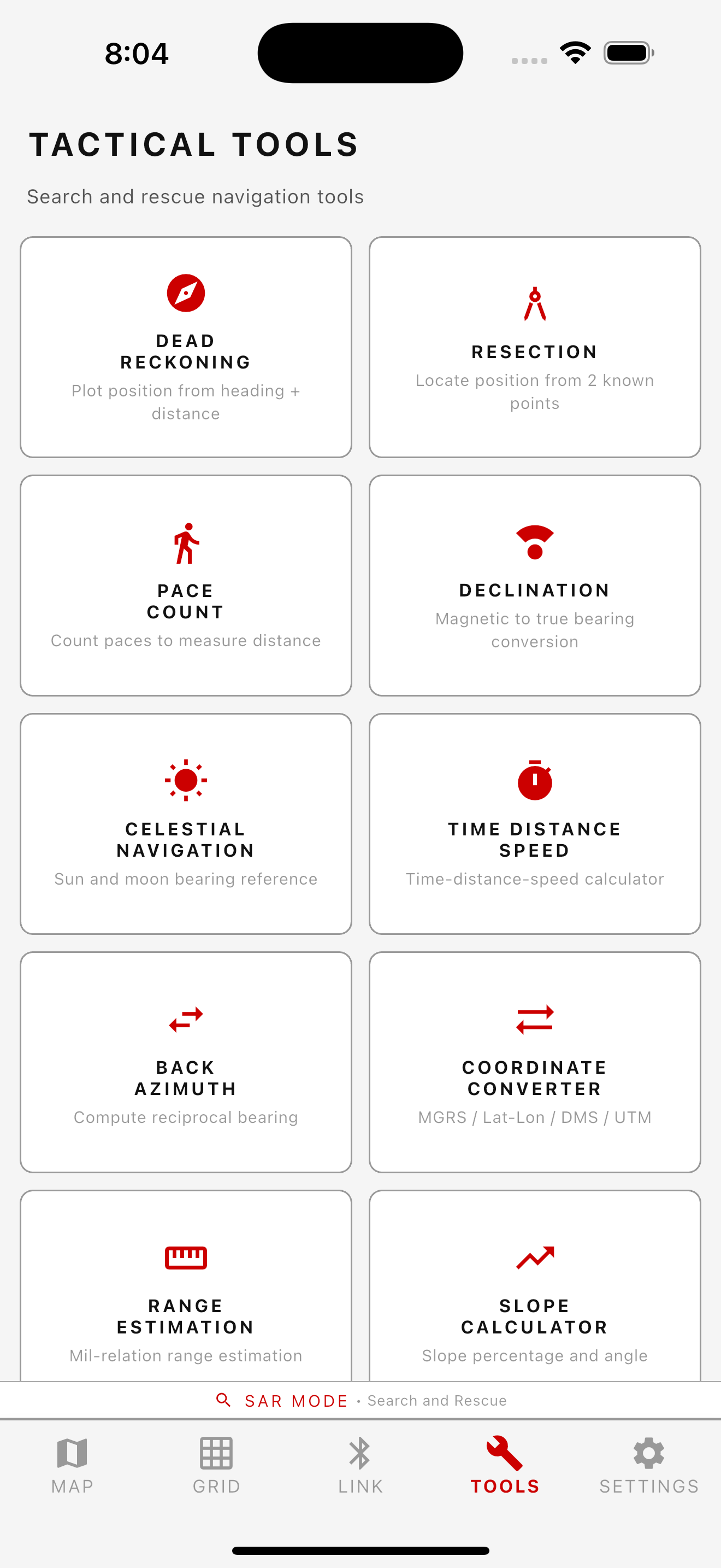
Military Grid Reference System coordinates with 1-meter grid resolution. Actual accuracy depends on the location receiver and conditions; coordinate resolution is not an accuracy guarantee. GPS Kalman filtering smooths position estimates. MGRS grid overlay on offline maps from GZD down to 100m resolution. Bearing, distance, dead reckoning, resection, pace count (with accelerometer step detection), declination, and coordinate conversion tools. NATO phonetic voice readout for hands-free grid calls.
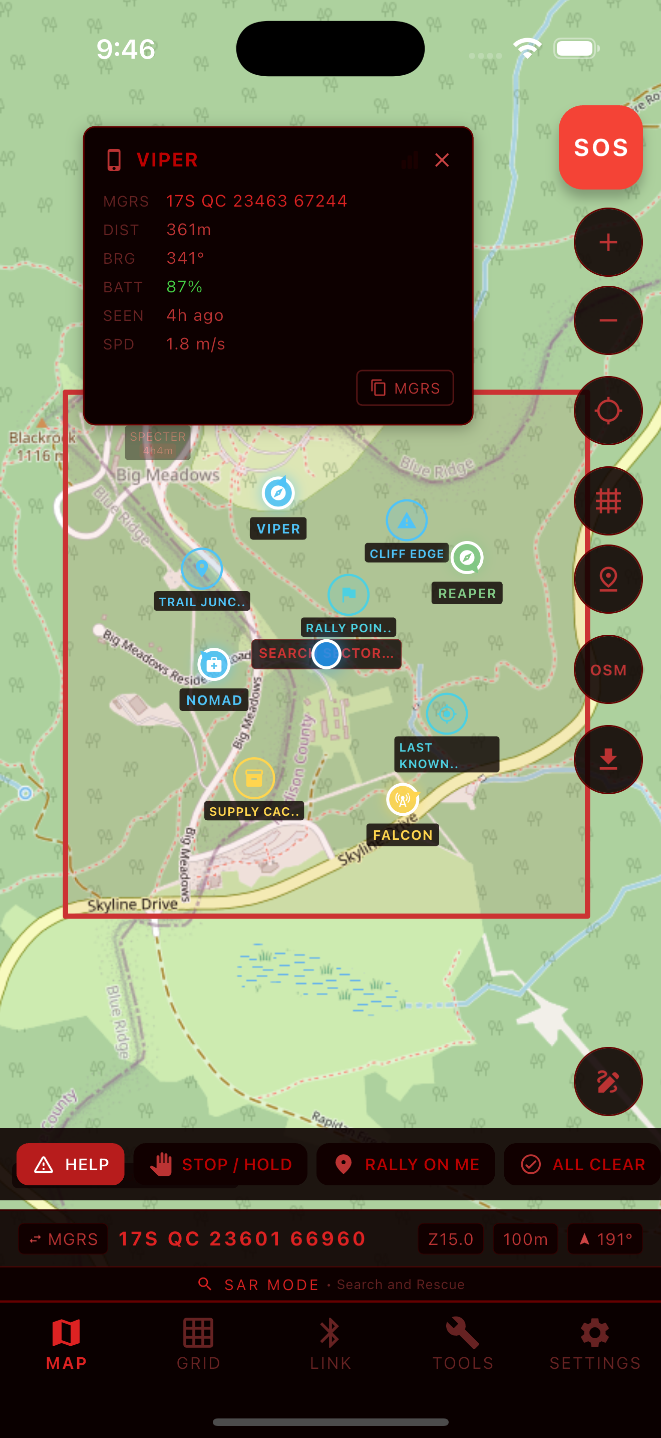
Zero-config proximity sync over BLE on all platforms, with Apple Multipeer Connectivity (AWDL) on iOS and Google Play Services Nearby Connections on Android as parallel higher-bandwidth peer transports. Devices within range automatically discover each other and share position, marker, and annotation data. No cell service, pairing codes, or Red Grid servers required for active sessions.
Download map packs from OpenStreetMap or OpenTopoMap to MBTiles for offline operation, with MGRS grid lines rendered as a dynamic overlay. Region downloads are throttled to respect public-tile-server usage policies; for sustained heavy offline usage we recommend a licensed provider. No additional provider integrations are planned for the retired app.
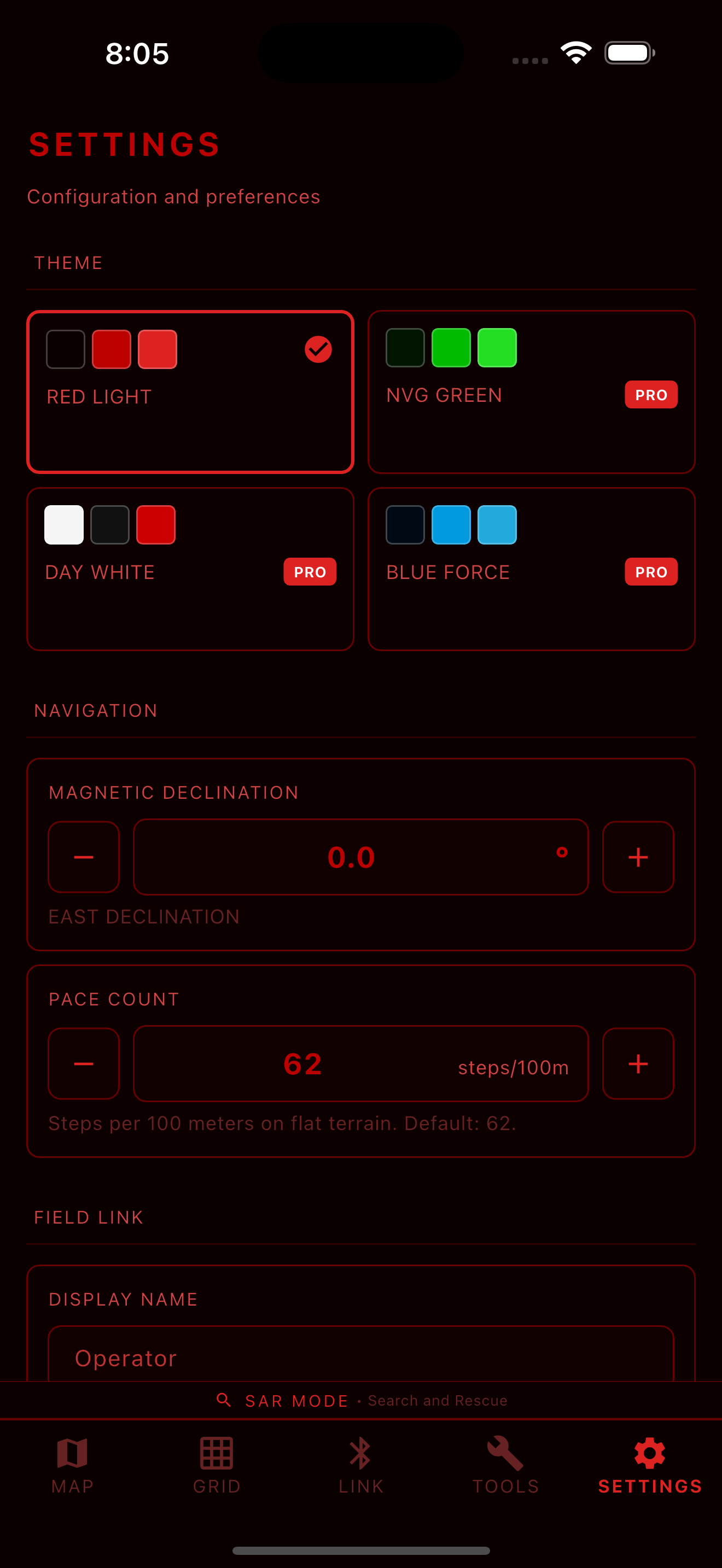
One engine, four presentation layers. Terminology, icons, and quick actions adapt to your mission:

