 woj-ciech/kamerka
Crea una mappa interattiva delle telecamere da Shodan

https://github.com/woj-ciech/Kamerka-GUI
Crea una mappa interattiva di telecamere, stampanti, tweet e foto.
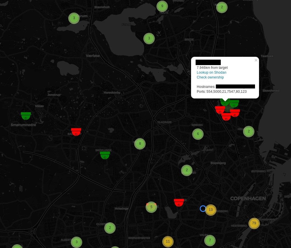
Lo script crea una mappa di telecamere, stampanti, tweet e foto basata sulle tue coordinate. Il tutto è presentato in modo chiaro sotto forma di mappa interattiva con icone e popup.
Articolo dettagliato https://medium.com/@woj_ciech/hunting-with-%EA%93%98amerka-2-0-aka-fist-flickr-instagram-shodan-twitter-ca363f12562a
Versione precedente https://medium.com/@woj_ciech/%EA%93%98amerka-build-interactive-map-of-cameras-from-shodan-a0267849ec0a
Aggiunto RTSP (Real-Time Streaming Protocol)
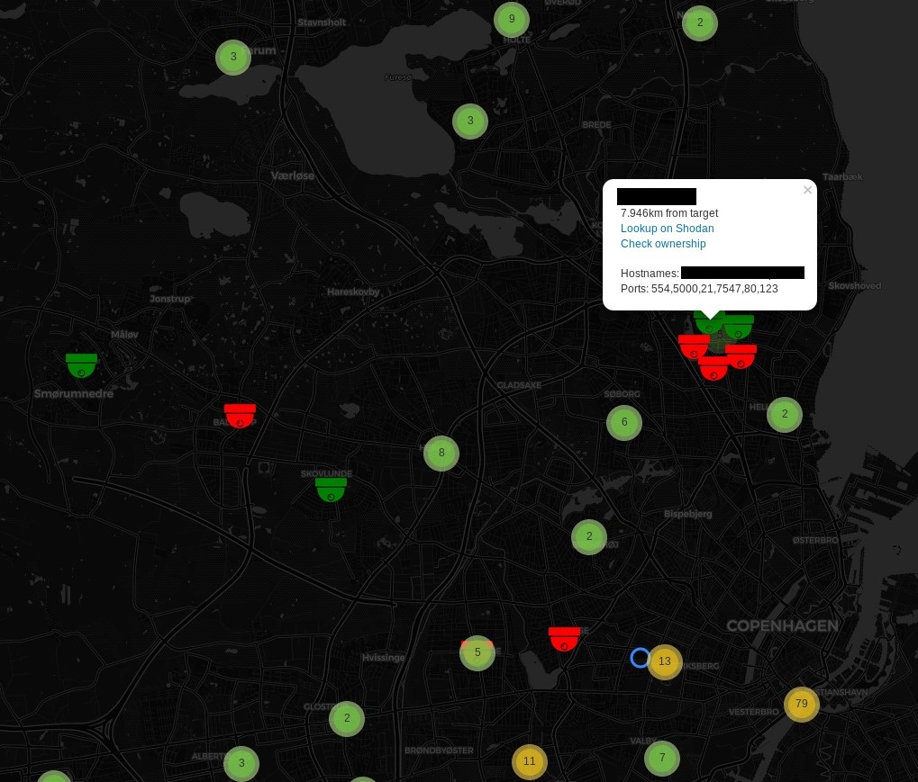
MQTT (Message Queue Telemetry Transport).
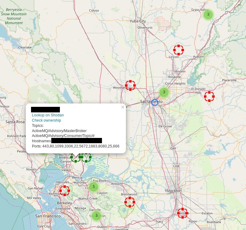
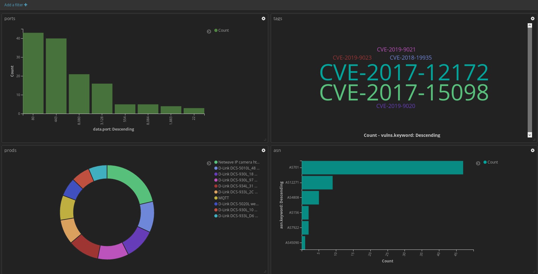
Output Elasticsearch
Aggiuntivi:
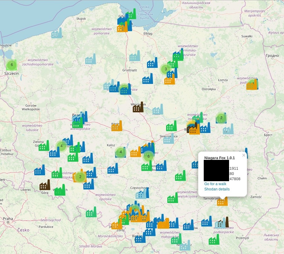
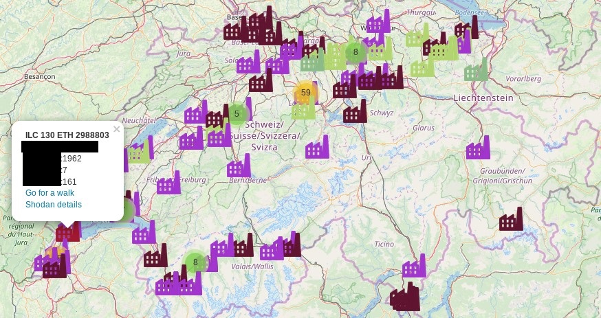
Visualizza i sistemi di controllo industriale di qualsiasi paese. Usa il flag --country e inserisci il codice breve del tuo paese. Per usare Street View aggiungi la tua chiave API alla riga 109
root@kali:~/# python kamerka.py --country PL
root@kali:~/# python kamerka.py --country CH
pip install -r requirements.txt
Inserisci le tue chiavi API nel codice
Per usare il modulo Instagram, devi aggiungere un metodo aggiuntivo al file InstagramAPI.py.
def geosearchLocation(self, lat, lon):
        return self.SendRequest('location_search/?latitude=' + str(lat)+'&longitude='+str(lon)+'&rank_token=' + self.rank_token)
Maggiori dettagli qui --> https://github.com/LevPasha/Instagram-API-python/pull/492/commits/ed74ee45fb3e3abe6df7f767d3353de6fd897401
https://github.com/LevPasha/Instagram-API-python/pull/492
(venv) root@kali:~/PycharmProjects/kamerka# python kamerka.py -h
usage: kamerka.py [-h] [--lat LAT] [--lon LON] [--radius RADIUS] [--dark]
                  [--twitter] [--camera] [--flickr] [--instagram] [--printer]
                  [--country COUNTRY] [--rtsp] [--mqtt] [--open]
                  [--first FIRST] [--last LAST] [--recursive]
                  [--elasticsearch] [--host HOST] [--port PORT]

              o#######o
            o###########o
            o#############o
            #################
            ######  \########o
           #;^ _^,/---\#####!
           ,` /^_ .-~^~-.__\#
          /    ^\/,,@@@,, ;|
         |      \!!@@@@@!! ^,
        #.    .\; '9@@@P'   ^,
        ###./^ ----,_^^      /@-._
                      ^--._,o@@@@@@
                         ^;@@@@@@@@@
                           ^-;@@@@
ꓘamerka 2.0 (FIST) - Build interactive map of cameras, tweets and photos
medium.com/@woj-ciech github.com/woj_ciech

python kamerka.py -h
Example: python kamerka.py --lat "37.235 --lon 115.811111" --dark --twitter --camera --printer
"python kamerka.py --country RU

optional arguments:
  -h, --help         show this help message and exit
  --radius RADIUS    Radius in km (Default 3)
  --dark             Dark Theme
  --twitter          Twitter module
  --camera           Camera module
  --flickr           Flickr module
  --instagram        Instagram module
  --printer          Printer module
  --country COUNTRY  Find Industrial Control Systems for country. Short code for country: US,IL,RU
  --rtsp             Real Time Streaming Protocol module
  --mqtt             Message Queuing Telemetry Transport module
  --open             Show only open devices
  --first FIRST      First page
  --last LAST        Last page
  --recursive        Recusrive mode
  --elasticsearch    Save to ElasticSearch (works only with recursive) mode
  --host HOST        Elasticsearch host
  --port PORT        Elasticsearch port

Required arguments:
  --lat LAT          Latitude
  --lon LON          Longitude
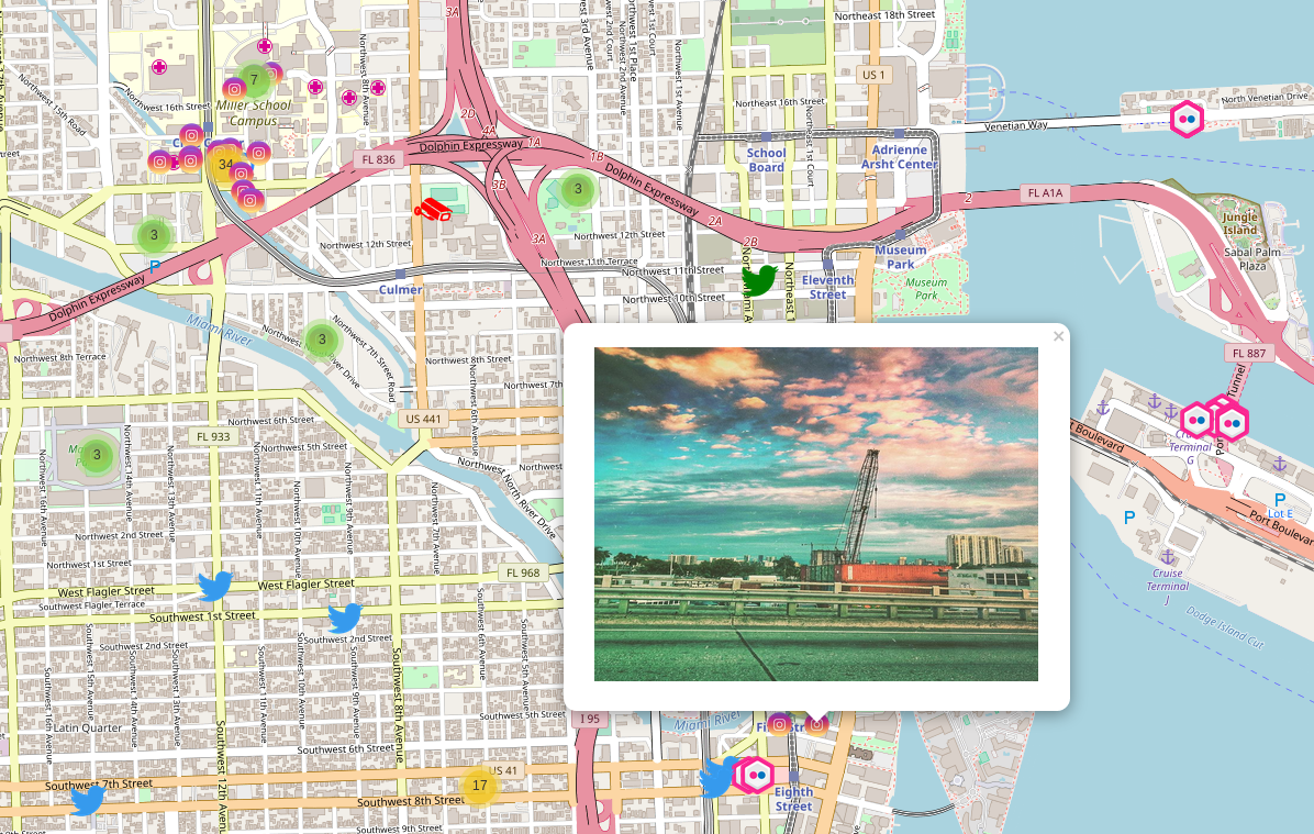
root@kali:~/#python kamerka.py --lat 37.8368723 --lon -122.2645793 --camera --flickr --instagram --twitter --printer --first 1 --last 1
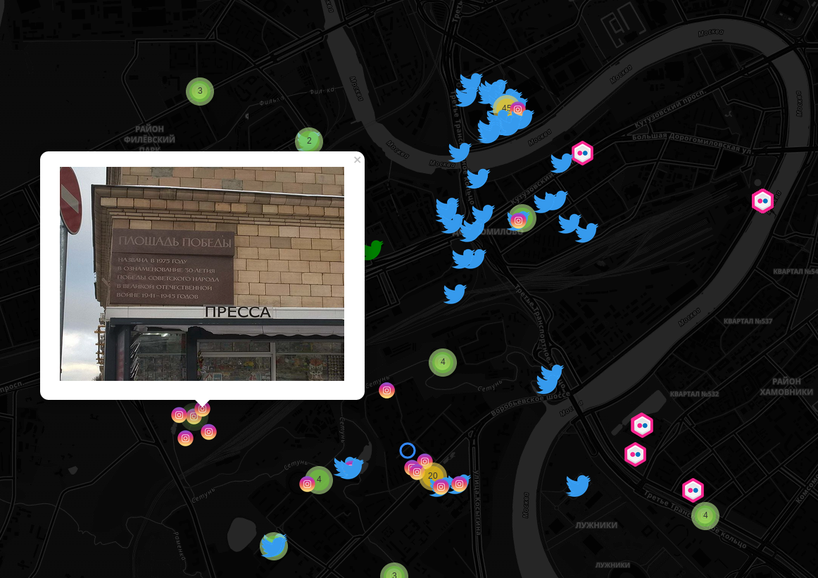
Modalità scura
Non testare su dispositivi che non possiedi.
Ringraziamenti a @xrxz - avevi ragione con le coordinate
