 bilawalsidhu/gods-eye-view
A spy satellite simulator in your browser, except the data is real. Live open source spatial intelligence on a photorealistic 3D globe.


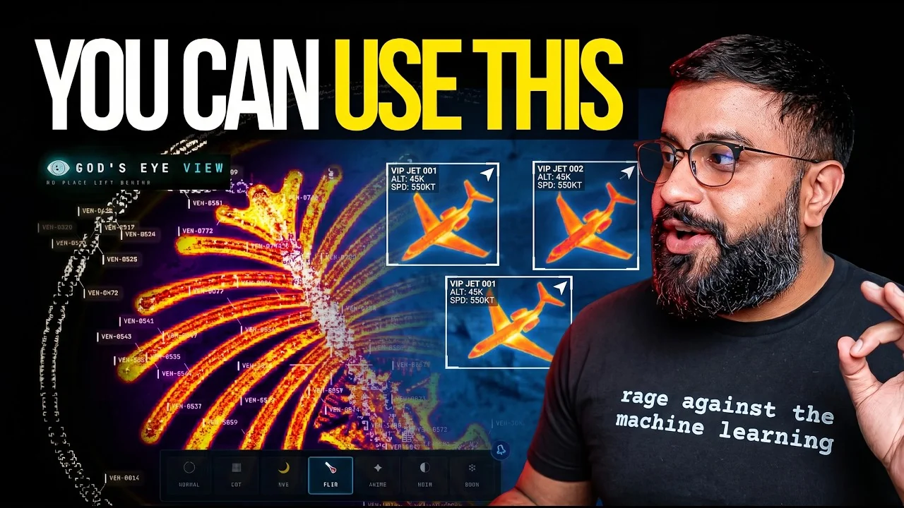
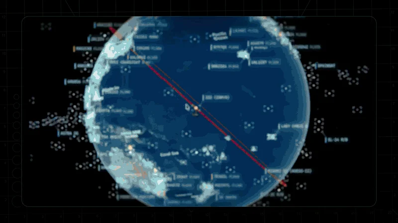
Photorealistic 3D globe. Live aircraft, ships, satellites, earthquakes, traffic, and public cameras. Hands-free voice control powered by a realtime AI agent.
No place left behind.
▶️ From the project behind the viral God's Eye View series (formerly WorldView) — 5M+ on YouTube · 25M+ across socials
🏆 Reached #1 on GitHub Trending, daily and weekly · August 2026
#8 Product of the Day · Hunted by Chris Messina, creator of the hashtag
“pretty cool” — Brendan Eich, creator of JavaScript and co-founder of Mozilla and Brave · Featured on Pinokio
⚡ Start without API keys. Install with Pinokio or run locally from the terminal. Add optional keys inside the app. → Quick Start
Quick Start · First Five Minutes · Talk to It · What's Live · Under the Hood · Keys & Costs · Contributing
God's Eye View brings public signals into one explorable globe. Track the world live. Talk to it. Break it. Extend it.
Flight transponders, ship beacons, orbital elements, seismographs, and public cameras already tell us a lot about the world. God's Eye View puts them in the same place, so you can move between a global picture and an individual aircraft, ship, or street. It runs locally in your browser, with source code you can inspect and extend.
Half the magic is that it looks like a forbidden cockpit. The other half is that every line of code is inspectable.
Most feeds are live or regularly refreshed. Traffic is simulated along real roads using aggregate location data. CCTV camera poses and rocket launch trajectories are coarse estimates.
Start with the included data sources, then add your own. Each layer is a separate module.
geo: URI (for example, geo:39.7392,-104.9903), or a bundled city or landmark to fly there with no geocoder request; other names use Google when configured, then Photon and Nominatim.Start without an account or API keys. Both paths open the same app with Esri satellite imagery and keyless terrain. OSM is the fallback if Esri is unreachable. Flights, military traffic, satellites, earthquakes, public cameras, radio, and launches are available without keys.
For photorealistic 3D, add a Cesium ion token for eligible personal, non-commercial use, or a Google Maps key for the direct, metered route and Google place search. Provider terms and quotas apply. Add keys through the app's POWER UP panel; Keys & Costs explains the options.
Already installed? Update to the latest version. Older versions query public OpenStreetMap Overpass servers, which now refuse them, so Traffic, Mapped Installations and ALPR stay empty until you update.