 oldcircle/geo-sleuth
An agent skill that finds where a photo was taken — OpenStreetMap geometry, elevation skylines, satellite imagery and street view — and shows its work. Works with Claude Code, Codex, Cursor, Gemini CLI, OpenCode and GitHub Copilot.

An agent skill that finds where a photo was taken — and shows its work.





Works with






…and any other agent that reads SKILL.md and runs shell commands.
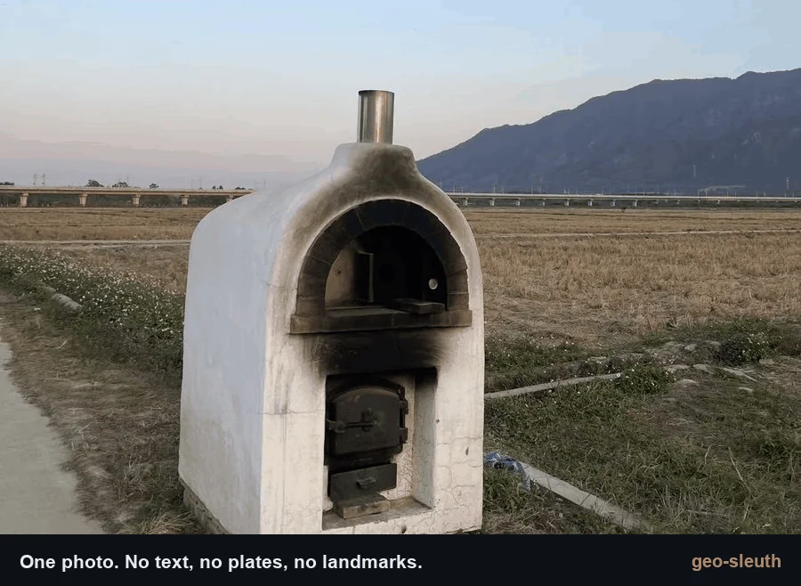
No text. No plates. No landmarks. One bridge, one mountain. Located to within 2 m.
npx skills add Oldcircle/geo-sleuth
Pick your agents when prompted. Then hand your agent a photo and say:
find where this photo was taken
On first use, ask the agent to run doctor.py from the installed skill’s scripts/ folder and address any failed checks (see Requirements and setup). That is the whole interface. The agent reads SKILL.md, runs the scripts, and comes back with the camera position, the direction it was facing and a satellite evidence image. Prefer to copy the folder yourself? See Installation.
SKILL.md plus plain Python scripts — so the same folder runs in Claude Code, Codex, Cursor, Gemini CLI, OpenCode and GitHub Copilot.None of these photos had GPS data. Each case lists what the skill read from the photo, how it narrowed the search, and how far the result landed from the confirmed camera position.
 |
 |
 |
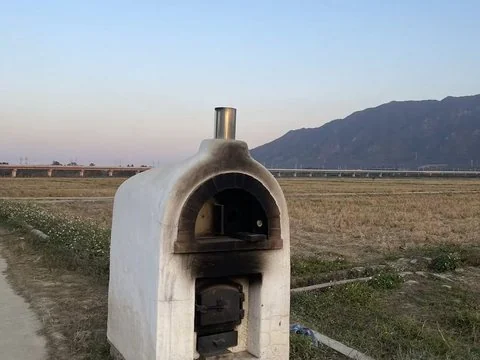
| 1 · Rice paddy and viaduct Railway bridges × skyline × pier count. |
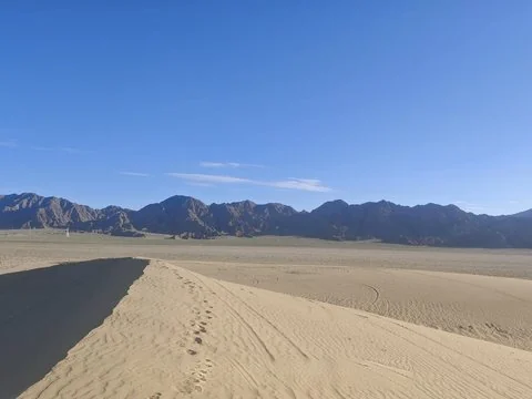
2 · Desert skyline Power lines × skyline × a phone tilted by 1°. |
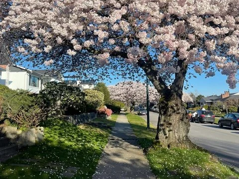
3 · Cherry street Street-tree open data × shadows × street view. |
| ±2 m Qingyuan, Guangdong |
within 100 m Da Qaidam, Qinghai |
3 m Vancouver, Canada |
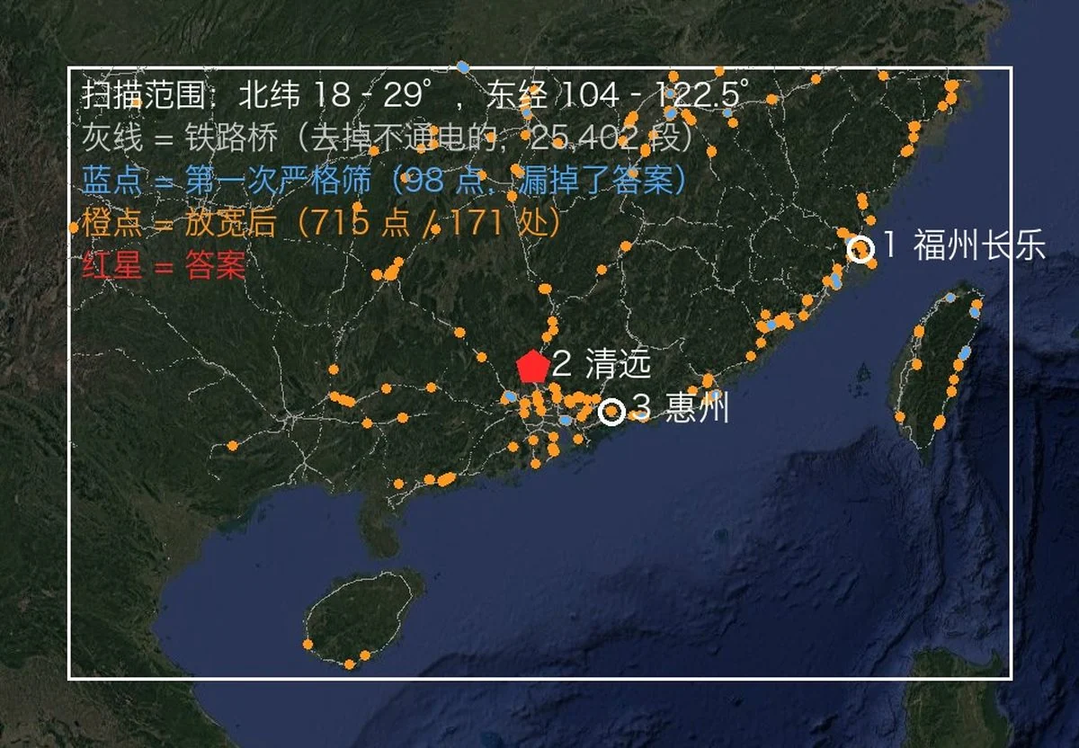
A phone photo with the EXIF stripped: a white oven at the edge of a harvested rice paddy, a long viaduct in the distance, a steep mountain on the right. Not a single character in the frame. One message to an agent with this skill installed, and it came back with the camera position and the direction the camera was facing.
photo → 27,335 → 171 → 14,372 → 22 → 3 → 1 → ±2 m
